
Features Мобильная ГисЛес 2
Mobile GisLes 2.0 provides information on the spatial distribution of forest resources in the form of forest maps.
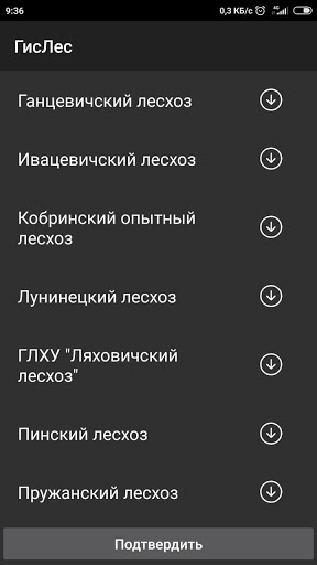
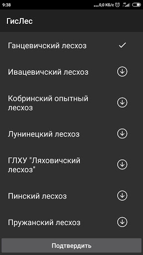
The application allows you to quickly and easily get comprehensive information about any area of the forest fund, the location of the taxation allotment, the species composition of plantations, projected economic activities, to plan and analyze a possible route on the map, etc.
The built-in GPS receiver determines the geographic location of the device and indicates it on the forest fund map.
Mobile GisForest provides accurate storage of forest fund data and a forest map in your pocket.
Fitness Tracking
Track your workouts and monitor your health metrics.
Travel Features
Plan and manage your travels with ease.
Smart Home
Control and monitor your home with smart features.
See the Мобильная ГисЛес 2 in Action
Get the App Today
Available for Android 8.0 and above